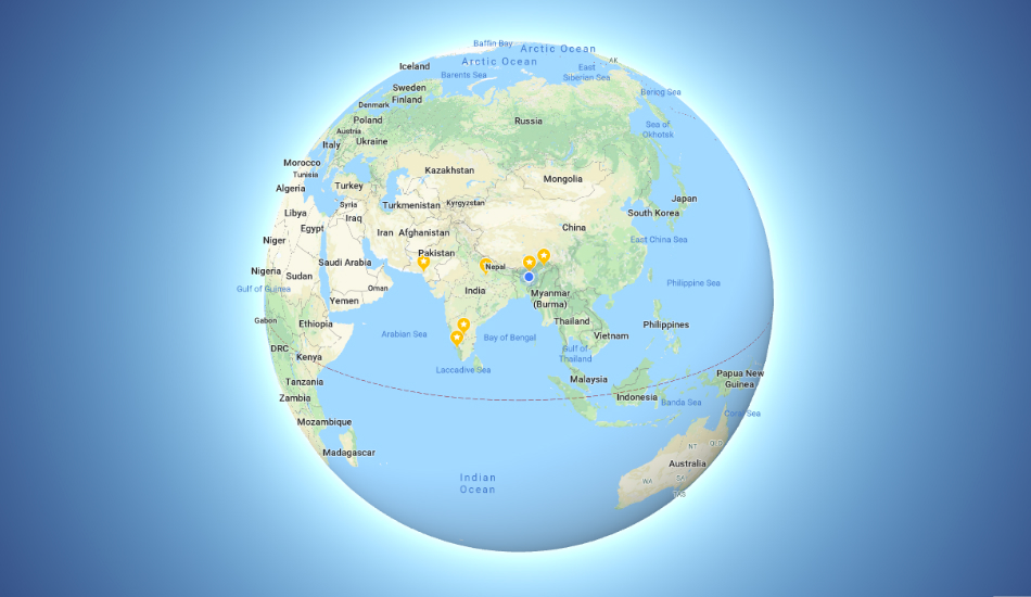
Google has updated its Maps interface with a new approach – it no longer displays Earth as a flat surface but a globe, thus displaying our home planet more accurately. The 3D globe thus replaces the flat Mercator projection which made it easy for maps to be printed on a flat paper.
The update currently finds its way to the desktop version of Google Maps and will show you the whole globe once you zoom out of the map multiple times. Google announces the update through Twitter saying “With 3D Globe Mode on Google Maps desktop, Greenland’s projection is no longer the size of Africa.”
This is because, previously with Mercator projection, objects closer to the northern and southern poles looked larger than their actual size to maintain uniformity while the ones near the equator were maintained to scale. This made Greenland look larger than Africa in a flat map when the region is one-fourteenth the size of Africa.
The 3D Globe mode is currently available on the desktop version of the Google Maps service which will be compatible with all major browsers like Safari, Chrome, Firefox and Edge. It’s unclear whether or when a similar update would be pushed to mobile versions of the service.
The latest Maps update comes a month after Google redesigned its Explore section on Maps. The Mountain View giant also introduced assistive features to its mobile App during its I/O 2018 developers conference earlier this year.


