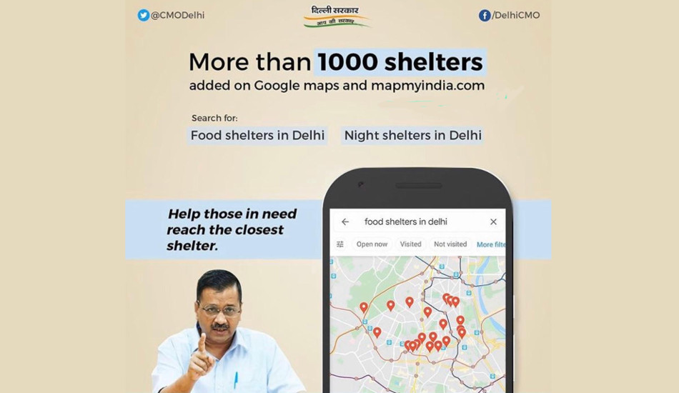
The Delhi government’s over 1,000 food distribution centres and night shelters for the poor across Delhi are now visible on Google Maps and Map My India, Chief Minister Arvind Kejriwal said on Tuesday.
Arvind Kejriwal yesterday tweeted, “As we prepare for an extended lockdown, we are proud to work together with @GoogleIndia Maps in ensuring easy accessibility of all our food and night shelters. We are committed to do everything possible to make life easy for those most affected by the lockdown.” On Tuesday, Prime Minister Narendra Modi announced that the lockdown due to coronavirus will be extended till May 3.
As we prepare for an extended lockdown, we are proud to work together with @GoogleIndia Maps in ensuring easy accessibility of all our food and night shelters. We are committed to do everything possible to make life easy for those most affected by the lockdown. https://t.co/fMvYzFmLPn
— Arvind Kejriwal (@ArvindKejriwal) April 14, 2020
To find these shelters, users will only be required to search for ‘food shelters in Delhi’ or ‘night shelters in Delhi’. The closest available shelters will then be shown on the Google Maps app.
The government has partnered with Google to display the locations of 1,047 food and night shelters initially on Google Maps. It has also partnered with Map My India and these locations are available on Map My India”s COVID-19 guide at https://maps.mapmyindia.com/corona and Move app.
Delhi government initially opened all 223 night shelters to provide food and shelter to the affected people in the city. Later, the government started over 1,500 free food distribution centres along with temporary shelters for migrant workers who were trying to leave the city for their native states.
Google India also said on Twitter “Food and night shelters can now be found in #Delhi and 32 other cities to help those in need. Please spread the word and help this message reach them.”


